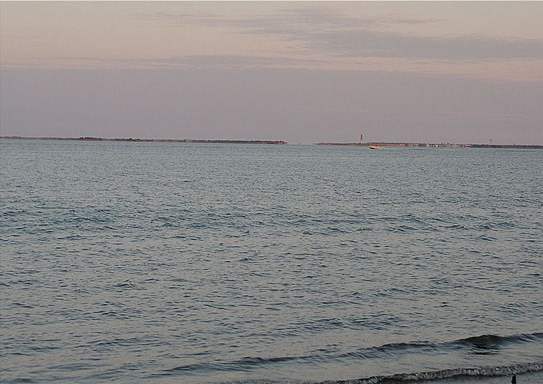
Barnegat Bay, N.J.

During the years 1982 to 1984, I became familiar with the area known as Barnegat Bay, an estuary on the Atlantic coast of New Jersey. Barnegat Bay begins at about Bay Head to the north, and stretches over 40 miles south to just past Tuckerton. To the east, the bay is separated from the ocean by a thin strip of chain islands known as Long Beach Island, a favorite spot for summer tourists and beach dwellers. Access to the ocean can be had through the transit of the winding, shoal-prone, and infamously rough Barnegat inlet. Marking the entrance to the inlet, is the Barnegat Lighthouse. Barnegat Bay is also part of the Intercoastal waterway, which winds its way down most of the eastern coast of the United States.
The bay itself is relatively shallow, averaging a depth of 7 to 12 feet depending on the tide. There are also an abundance of shoals, sandbars, and mud flats, most of which are not marked. So a chart of the bay is an absolute necessity if one wants to avoid what happened to my friend Art in 1984. There is a fairly well marked channel where the Intercoastal waterway runs through. There are also a few locally marked (little more than rough sticks or poles driven into the bottom, with reflectors mounted on top) and maintained channels. Venture anywhere else, and you take your chances. Some places are perfectly fine at high tide, but become hazardous at low tide, so a depth finder here is an absolute must and watching the tides is also a prudent habit to engage in. Fortunately, the bottom is mostly mud or sand and fairly soft, so an accidental light grounding will not usually amount to too much damage.
My escapades on the bay were confined only to a very small part of this large waterway. My base of operations was located at a marina known first as Barnacle Bill's, and then later changing its name to Bob's Bay Marina in mainland Barnegat. Located close to the public dock and ramp, and the public beach, it was an area which saw a good deal of boating traffic during any given summer weekend. I first came here in 1982, when I started hanging out with Art on his 26' Pacemaker, which brought back many old memories of my childhood fun at Atlantic City. As that summer drew to a close, I then became very motivated to get a boat of my own to keep down here as well. So by 1984 I would dock my newly acquired 23' Westwind here for the season. Due to the little quirks in the engine of my boat, I never ventured very far with it, so consequently I never got to explore the bay to the degree I would have in later years with more reliable boats. Increasing slip fees, finicky weather, and issues with kenneling my dog every weekend, pretty much took the fun out of this place. I made my last trip out on the bay in my boat, in October of 1984, and that was it. About 10 years later, I made a day trip out on the bay further north in Tom's River, when Art had his last sailboat docked at Dillon's Creek marina.
Pros: It's a fairly large body of water, with access to the open ocean. This makes it an ideal playground for a cruiser. If you like to fish or crab, there is plenty to do.
Cons: It's no longer a practical drive for me. It's also salt water, which tends to age a boat quickly, something I'm not too keen on. Navigating the area is a bit tricky if you are unfamiliar with the local hazards.